Exail has secured two additional contracts for its DriX H-9 autonomous surface vessel, supporting both maritime defense and hydrographic missions.
The first contract was awarded by the innovation unit of an undisclosed naval customer and includes integrating a third-party counter-drone solution onto the DriX H-9 platform. The capability will allow the vessel to detect, track, and neutralize hostile aerial unmanned systems.
Initially developed for land-based applications, the counter-drone technology is being adapted for maritime use, extending anti-UAS protection into offshore environments. Intended operational roles include fleet defense, escort of high-value assets, port security, and protection of critical maritime infrastructure from aerial threats.
The second contract was awarded by the French Navy’s Hydrographic and Oceanographic Service (SHOM), marking its second procurement of a DriX platform. The new system will enhance seabed mapping and maritime data collection in support of safe navigation and maritime domain management.
These awards bring the total number of DriX H-9 orders to three in recent months. Exail noted that additional surface drone contracts are currently in advanced negotiations for 2026.
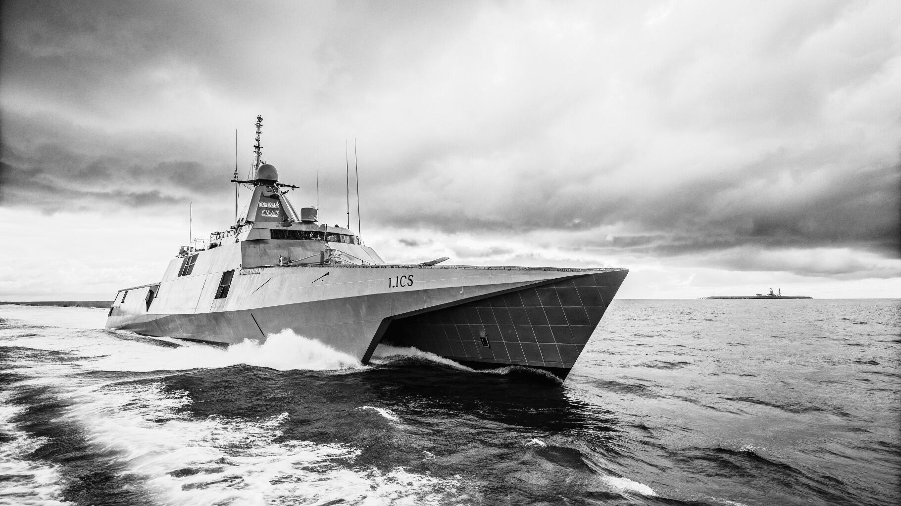
The DriX H-9 is a 9-meter autonomous vessel designed for extended maritime operations. Powered by a diesel engine with a fuel capacity of 550 liters, it can reach speeds of up to 13 knots and operate continuously for up to 20 days, covering distances of around 2,000 nautical miles.
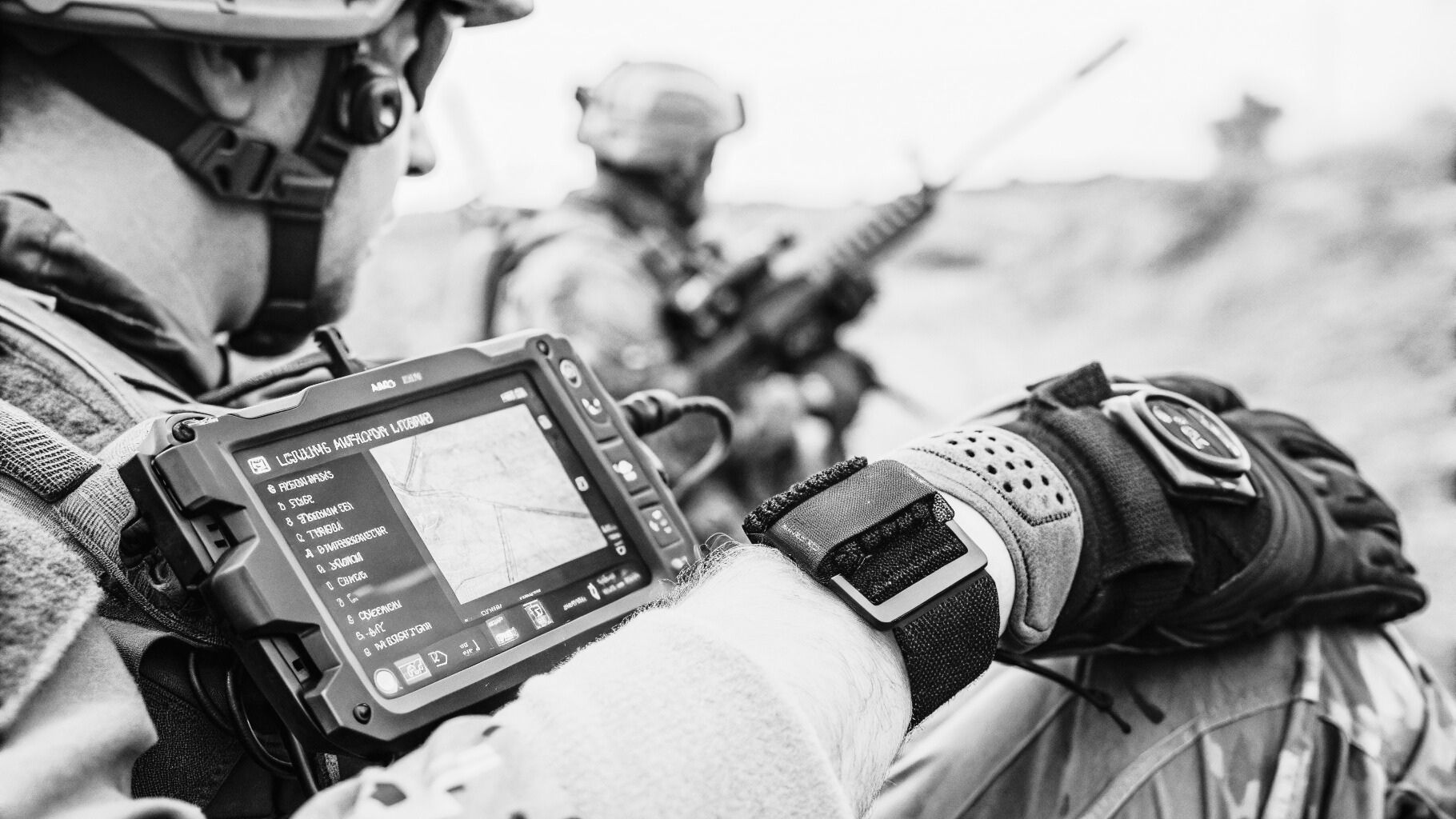
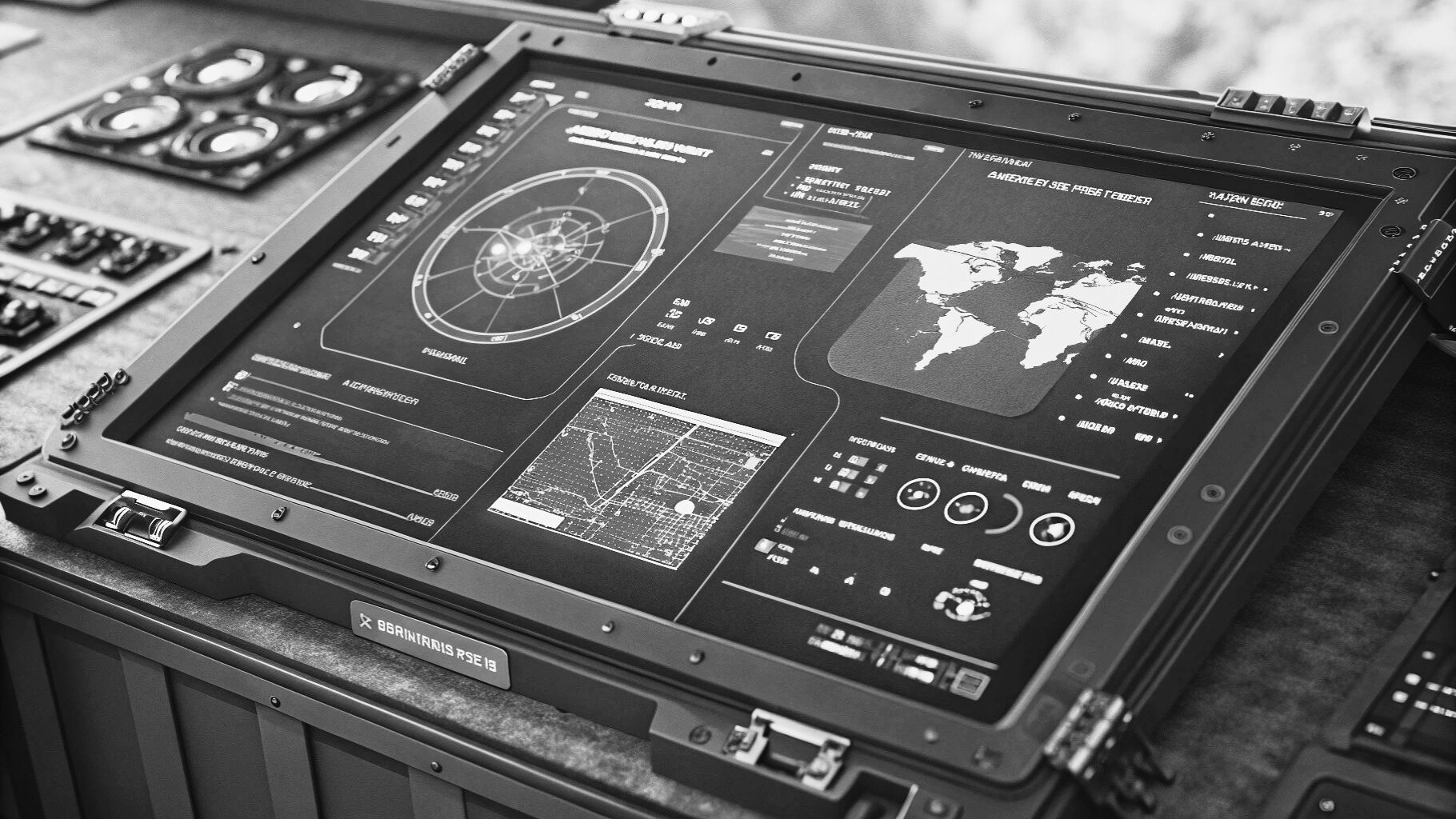
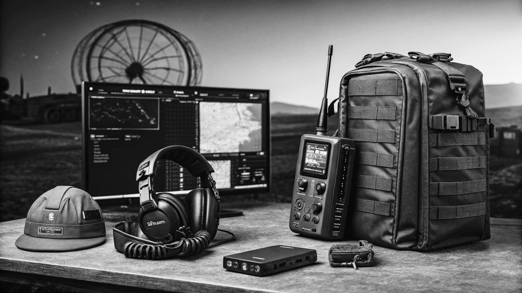
The platform can be transported in a standard 40-foot container and is operated via a human-machine interface that supports mission planning, procedural control, and real-time monitoring of vessel status, sensor payloads, and system alerts.
With a modular payload architecture, the DriX H-9 supports a wide range of missions, including hydrographic surveying, scientific research, subsea inspection, exploration, and infrastructure monitoring. It also enables towing operations and deployment of towed underwater vehicles, with multibeam echosounders allowing seabed mapping at depths of up to 3,000 meters.