The US Army has procured tactical mapping drones from EagleNXT via its German partner, Dronivo GmbH, to enhance geospatial intelligence and situational awareness capabilities.
The undisclosed-value sale includes six eBee TAC unmanned aircraft equipped with S.O.D.A. 3D cameras and Duet M sensor payloads, which combine conventional and multispectral imaging. The systems also feature activated RTK/PPK functionality to enable high-precision positioning.
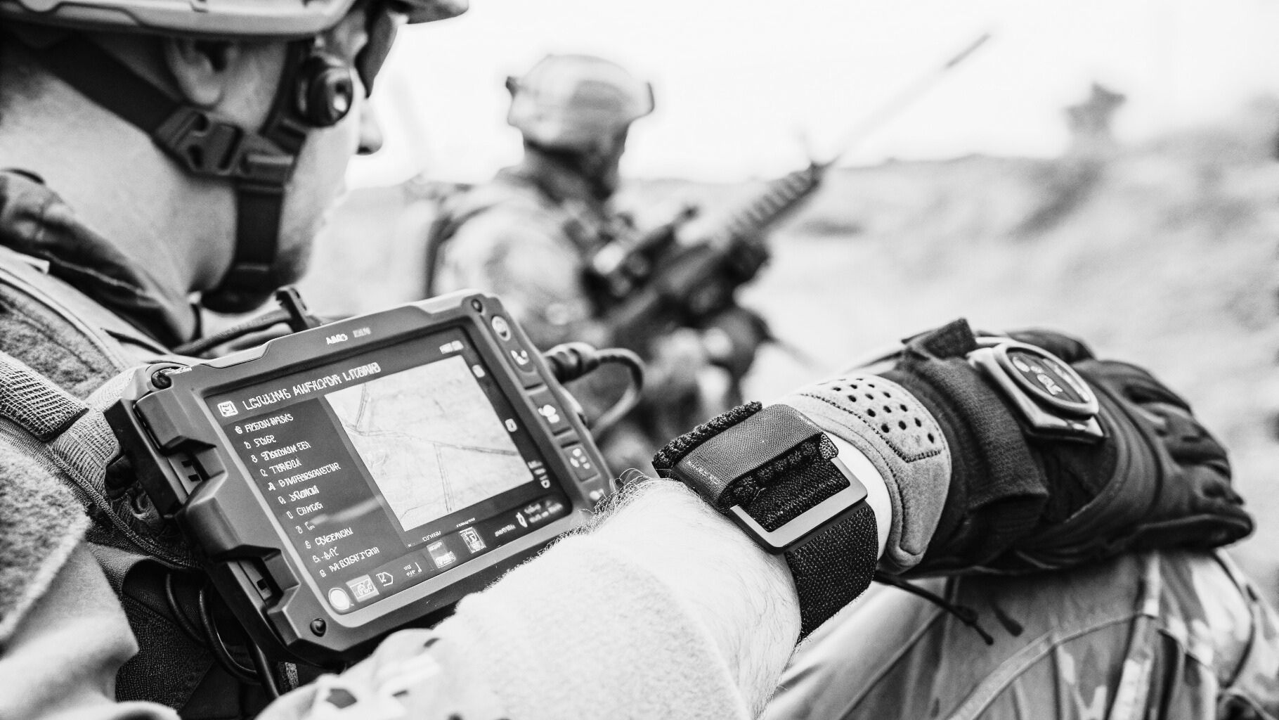
EagleNXT stated that the drones can generate centimeter-accurate maps and high-resolution 3D models, while operating effectively in remote or austere environments without extensive ground control infrastructure.
The eBee TAC is a hand-launched, fixed-wing unmanned system designed for military situational awareness, featuring digital camouflage to minimize visual detectability.
With a launch time of approximately three minutes and a takeoff weight of 1.6 kilograms, the platform offers endurance of up to 90 minutes and a maximum operational range of 55 kilometers.
Mission applications include border monitoring, reconnaissance, operational planning and mapping, intelligence collection, search-and-rescue missions, counterinsurgency operations, as well as training and simulation tasks.
This procurement marks the US Army’s latest engagement with EagleNXT systems, following the acquisition of three eBee VISION drones in November 2025 for training use at the Joint Multinational Readiness Center in Germany.